
What Is an Earthquake? Its Formation, Impact on Buildings, and Turkey's Seismic Reality
Turkey sits on the Alpine-Himalayan belt, one of the most seismically active regions on Earth. This geographic position places the country at the center of a subject that is both scientifically fascinating and, for society, a matter of life and death: earthquakes. In this piece, we examine the geological origin of earthquakes, their impact on buildings, and Turkey's earthquake-filled history, drawing on our own experience as well as academic and institutional sources.
1. What Is an Earthquake?
An earthquake is the shaking of the Earth's surface caused by energy released when rocks within the Earth's crust suddenly fracture or shift, propagating outward as seismic waves.
The lithosphere, the outermost layer of the Earth, is made up of tectonic plates fitted together like pieces of a puzzle. Because the mantle beneath them behaves like a viscous fluid, these plates are in constant motion, moving a few centimeters per year. As the plates grind against, collide with, or pull away from one another, enormous stresses build up in the rock. When this accumulated elastic energy exceeds the rock's strength, it is released in a sudden rupture; the points where this rupture occurs are called "fault lines."
The vast majority of earthquakes — including those experienced in Turkey — are tectonic earthquakes formed this way. Volcanic earthquakes and collapse (subsidence) earthquakes also occur, but are far less common; the seismic risk in Turkey is fundamentally tectonic in origin.
Seismic Waves and Measurement Methods
During an earthquake, energy travels outward in waves of differing speed and character:
P waves (primary/longitudinal waves): The fastest-traveling waves, and the first signal to reach seismographs.
S waves (secondary/transverse waves): Slower than P waves (traveling at roughly 3–4.5 km/s) and generally responsible for greater damage.
Surface waves: The slowest wave type, arriving after both P and S waves and traveling along the Earth's surface; they are typically the most destructive.
The magnitude of an earthquake was historically expressed using the Richter scale, developed by Charles Richter in 1935. Today, scientists generally rely on the moment magnitude (Mw) scale, considered more reliable for large earthquakes; once moment magnitude can be calculated for an earthquake above 3.5, other magnitude measures are generally no longer needed. A concept not to be confused with magnitude is intensity: magnitude describes the energy released at the earthquake's source, while intensity (measured on the Mercalli scale) describes how that energy is felt at a specific location.
2. The Impact of Earthquakes on Structures
The primary cause of loss of life and property in an earthquake is not the ground shaking itself, but its effect on structures. Engineering literature identifies the main factors that determine the seismic impact on a building: the characteristics of the earthquake source, the path traveled by the seismic wave, local soil conditions, and soil-structure interaction.
Soil Liquefaction
In loose, water-saturated sandy and silty soils, pore water pressure rises rapidly during an earthquake. This increase eliminates friction between soil particles, causing ground that appears solid to temporarily behave like a liquid — a phenomenon known as soil liquefaction. Liquefaction can cause soil to lose its bearing capacity, leading buildings on top of it to sink, tilt, or collapse. The 1964 Alaska and Niigata earthquakes, along with the 2011 Tōhoku (Japan) and Christchurch (New Zealand) earthquakes, are classic examples of the severe structural damage liquefaction can cause.
Resonance Effect
Every building has its own natural vibration period, determined by its height and rigidity. If the period of the seismic wave transmitted through the ground coincides with a building's natural period, resonance occurs: the amplitude of the shaking multiplies, the building swings like a pendulum into ever-widening oscillations, and eventually the structural system can no longer bear the load and collapses. For this reason, the compatibility between soil class and building height/type is one of the most critical calculations in earthquake engineering.
Structural Damage Mechanisms
Beyond liquefaction and resonance, irregular floor plans, soft/weak story configurations (commonly created when ground floors are left open for commercial use), inadequate reinforcement detailing, and poor concrete quality are among the leading engineering causes of severe earthquake damage. For this reason, modern earthquake engineering embraces a performance-based design approach — one that anticipates not just a building's strength, but the performance level at which it will remain after an earthquake.
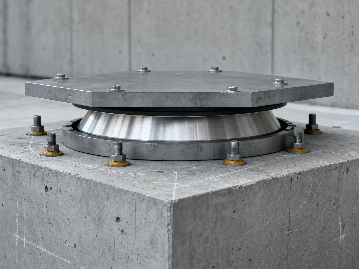
In Turkey, these principles are governed by the Turkish Building Earthquake Code (TBDY 2018), published in the Official Gazette on March 18, 2018, and put into effect on January 1, 2019. The code sets out separate design principles for reinforced concrete, steel, masonry, timber, light-gauge steel, prestressed, and high-rise buildings, as well as base-isolated structures, and also covers the seismic safety of non-structural elements (suspended ceilings, façades, mechanical systems, etc.).
3. Turkey's Seismic Reality: Fault Lines and Historical Earthquakes
Turkey lies on three major fault systems:
North Anatolian Fault (NAF): A right-lateral transform fault over 1,600 kilometers long, running between the Eurasian and Anatolian plates from eastern Anatolia to the Sea of Marmara.
East Anatolian Fault (EAF): A left-lateral fault system between the Arabian and Anatolian plates; it was the source of the 2023 Kahramanmaraş earthquakes.
West Anatolian Fault System: Characterized by normal faulting, driving the extension (graben formation) of the Aegean region.
Scientific studies have also identified the segment of the NAF running beneath the Sea of Marmara — unruptured since 1999 — as the "Istanbul seismic gap," carrying an earthquake potential of up to magnitude 7.4 for Istanbul, a city of more than 18 million people.
Major Historical Earthquakes in Turkey
1939 Erzincan Earthquake (December 27, 1939): Occurring on the North Anatolian Fault, this magnitude 7.9 earthquake reached intensity XII (catastrophic) on the Mercalli scale. It produced a surface rupture roughly 360 km long, completely destroyed 116,720 buildings, and, according to official records, claimed 32,968 lives. This earthquake is regarded as the first in a sequence of large earthquakes that migrated westward along the NAF between 1939 and 1999.
1999 İzmit (Gölcük) Earthquake (August 17, 1999): With a calculated moment magnitude of Mw 7.4–7.6, this earthquake struck 11 km southeast of İzmit and lasted 45 seconds. Official records show 17,480 people killed, 23,781 injured, and damage to 285,211 homes and 42,902 businesses.
1999 Düzce Earthquake (November 12, 1999): With a magnitude of 7.2, occurring on a neighboring segment of the NAF, official records show this earthquake caused 845 deaths, 4,948 injuries, and severe damage to 12,939 structures.
2023 Kahramanmaraş Earthquakes (February 6, 2023): Occurring on the East Anatolian Fault nine hours apart, this double earthquake — Mw 7.8 (Pazarcık) and Mw 7.5 (Elbistan) — was one of the most devastating disasters Turkey has experienced in the last century. According to AFAD data, at least 53,537 people lost their lives in Turkey, more than 138,000 were injured, more than 45,000 aftershocks were recorded (the largest at Mw 6.7), and roughly 156,000 buildings comprising 507,000 independent units were found to be collapsed, in need of urgent demolition, or severely damaged. 448,000 people were evacuated from the affected region. In neighboring Syria, at least 8,476 people lost their lives.
This record aligns with historical data showing that Turkey has been shaken by 23 earthquakes of magnitude 7 or greater over the past 500 years, including the 1912 Mürefte, 1942 Niksar-Erbaa, 1943 Tosya-Ladik, 1953 Yenice-Gönen, and 1957 Abant earthquakes.
4. What Can Be Done About Earthquake Risk?
Scientific literature and engineering practice point to three factors that stand out in reducing earthquake-related loss of life and property: (1) supervised construction fully compliant with up-to-date earthquake codes such as TBDY 2018; (2) identifying and either retrofitting or redeveloping (through urban renewal) the existing stock of at-risk buildings; and (3) ensuring soil surveys — particularly in liquefaction-prone areas — form the basis of zoning decisions. Academic studies published after the 2023 Kahramanmaraş earthquakes point out that much of the building stock predated current codes, a decisive factor in the scale of the damage.